Aerial Journey: Tuotuo River's High-Altitude Panorama from Tanggu La
Discover the majestic Tuotuo River from Tanggu La Mountain's aerial perspective. Experience Tibet's dramatic altitude changes and breathtaking landscapes. Plan your visit.
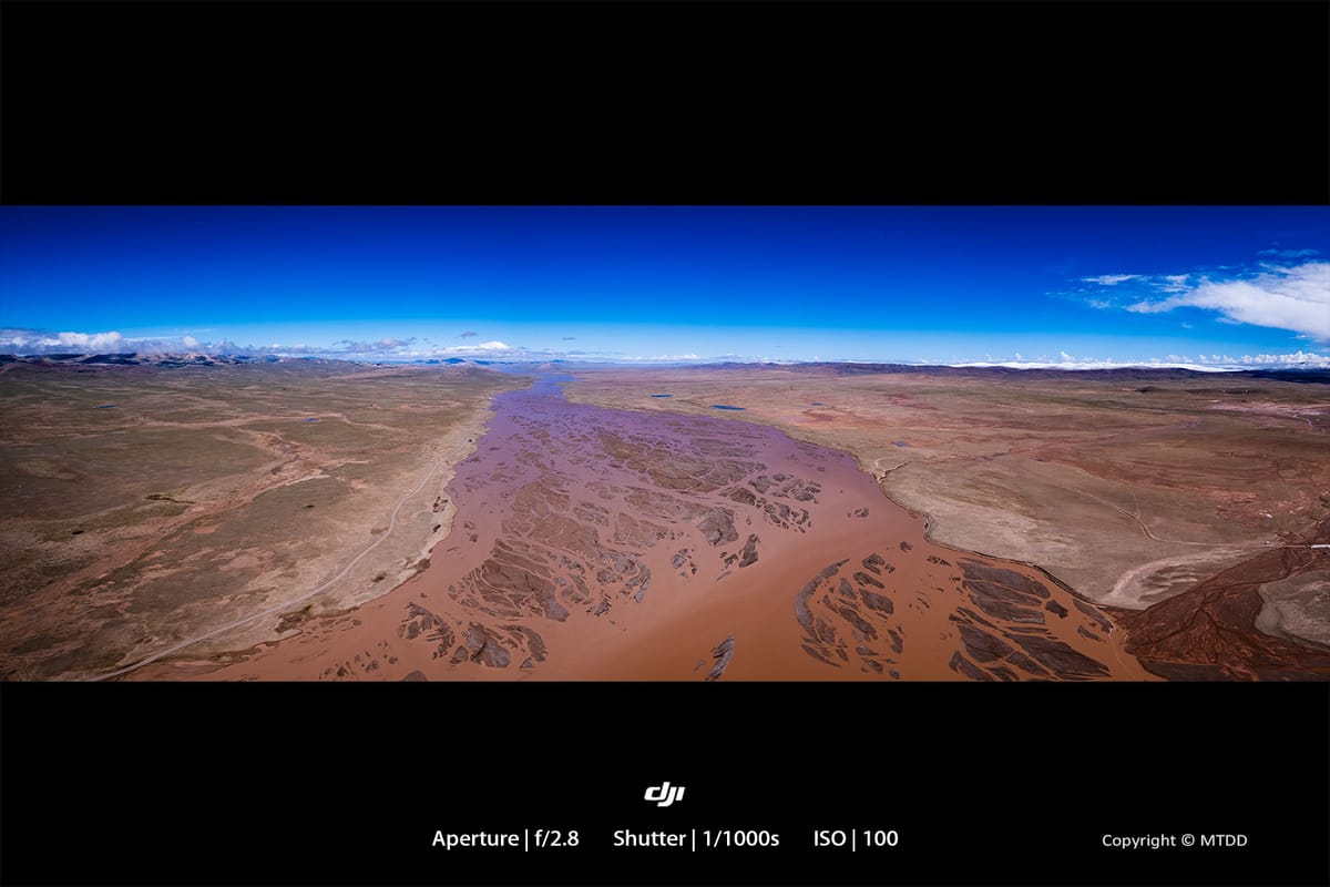
An aerial photograph of the Tuotuo River taken from the west of Tanggu La Mountain Town. The river's surface is not as wide as it appears in the picture; the panoramic view is distorted. The altitude here is 4500 meters. If coming down from a higher altitude of around 5000 meters (approximately 16,400 feet), passing through here is not too difficult. However, if traveling from Golmud to Naqu on the Qinghai-Tibet Highway, ascending directly from about 2900 meters to approximately 4500 meters, most people experience altitude sickness here, which is quite unpleasant.